Carl’s Marsh Documents
Maps and Images
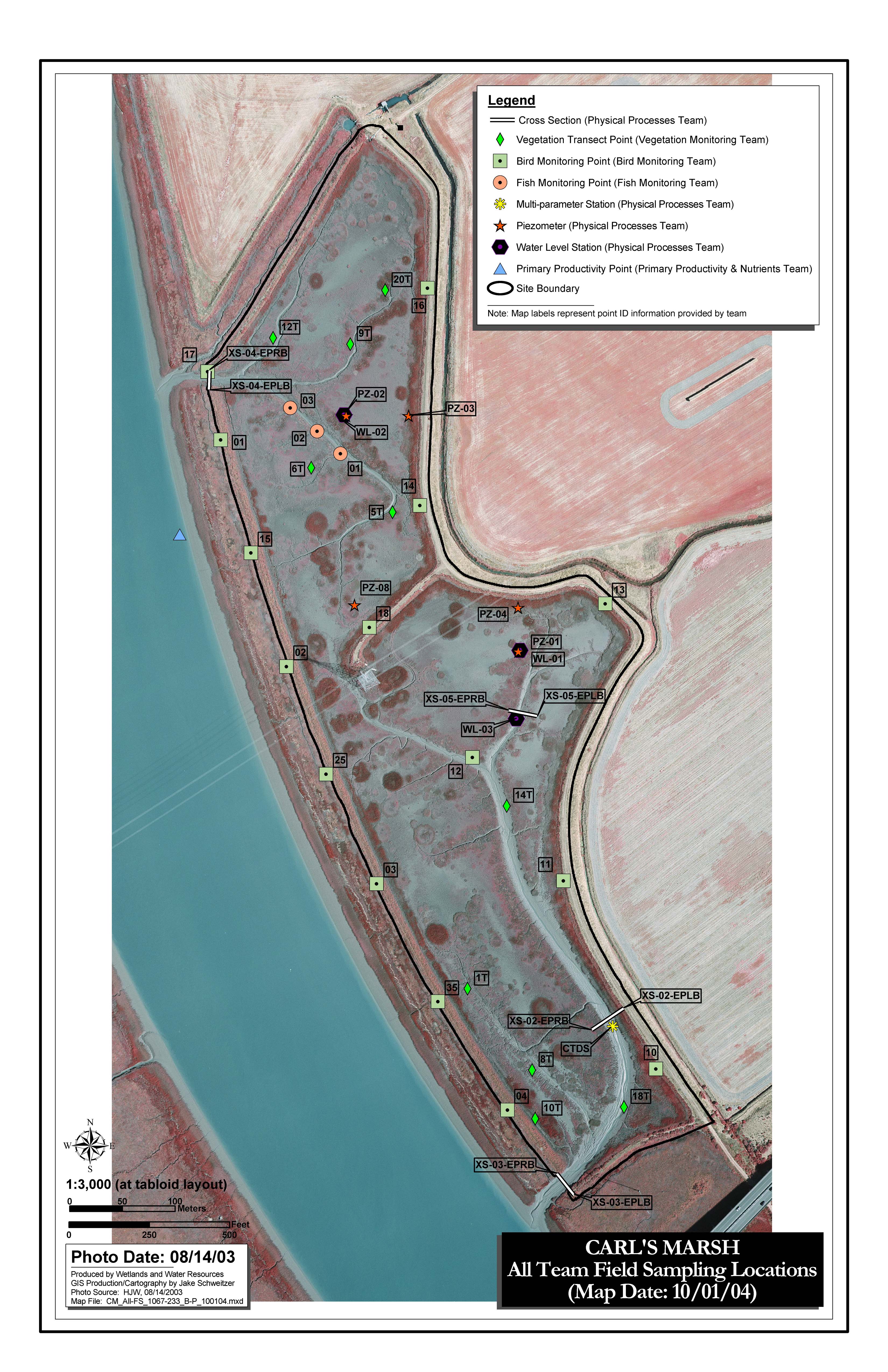
- Sampling location map—all science teams
- 2003 Aerial Imagery
- Documentation
- Note: These files range in size up to 100 MB. If you have trouble downloading a file, try a right-click or click-&-hold on the file to reveal your browser‘s popup menu to “Save as...” or “Download...” the file.
-
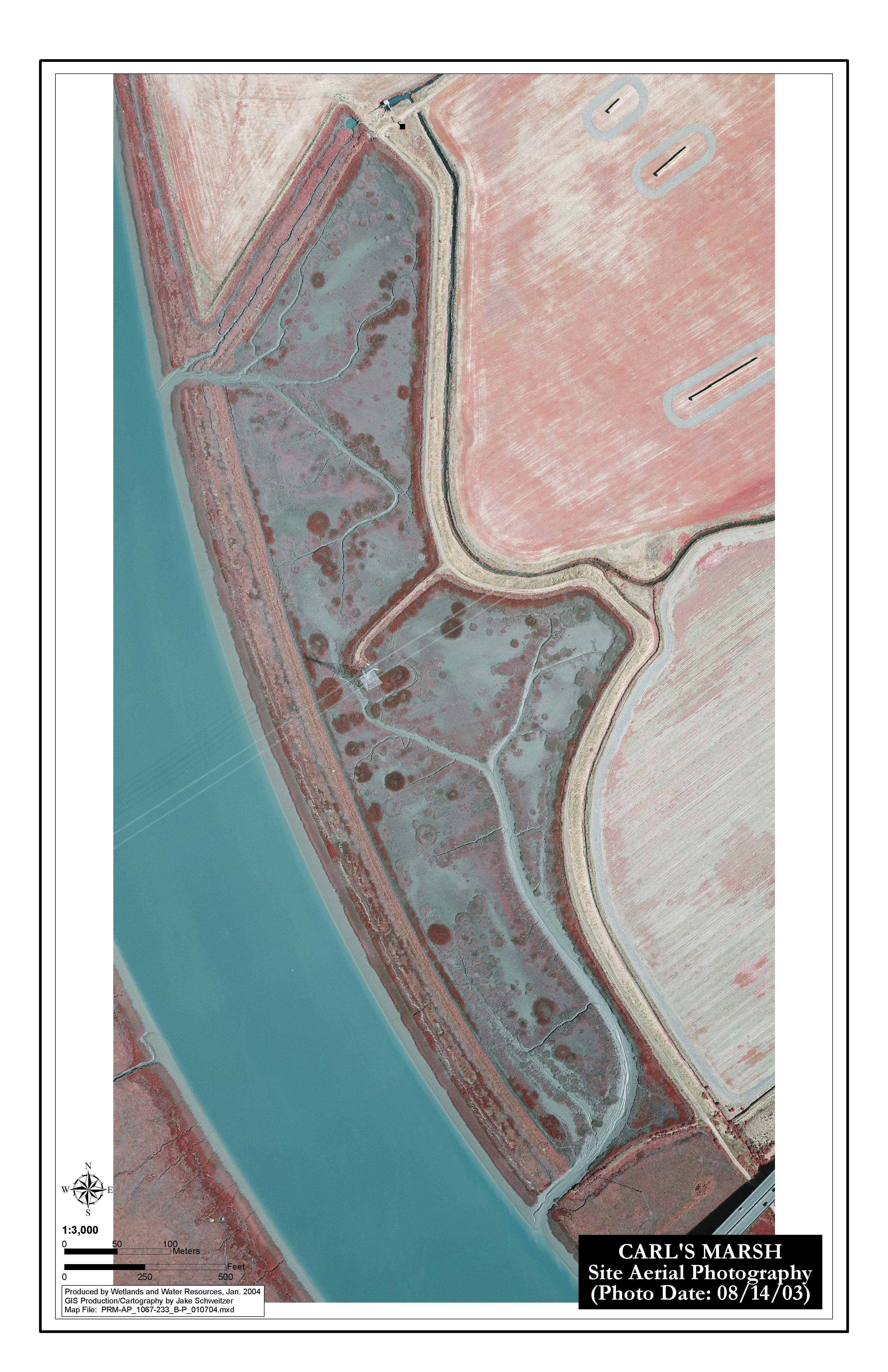
2003 Site Air Photo Maps
Ortho-rectified, Unclipped, Individual JPEG
Ortho-rectified, Clipped, Mosaic (if necessary) JPEGs
- CM_Ortho_1067_081403_300.jgw
- CM_Ortho_1067_081403_300.jpg
- CM_Ortho_1067_081403_600.jgw
- CM_Ortho_1067_081403_600.jpg
Ortho-rectified, Clipped, Individual MrSID
Ortho-rectified, Clipped, Mosaic (if necessary) MrSID
- CM_Ortho_1067_081403_1200-10x.sdw
- CM_Ortho_1067_081403_1200-10x.sid
- CM_Ortho_1067_081403_1200-10x.sid.xml
- CM_ortho_1067_081403_1200-10x_metadata.htm
- CM_ortho-Mosaic_1067_081403_1200-10x_metadata-faq.htm
Rectification Parameters
- 2004 Aerial Imagery
- Documentation
-
Image Metadata
Ortho-rectified, Unclipped, Individual MrSID
Ortho-rectified, Clipped, Mosaic (if necessary) JPEGs
Ortho-rectified, Clipped, Individual MrSID
Ortho-rectified, Clipped, Mosaic (if necessary) MrSID
- Cm_ortho_1067_081904_1200-10x_clp.sdw
- CM_Ortho_1067_081904_1200-10x_clp.sid
- CM_Ortho_1067_081904_1200-10x_clp.sid.xml
Rectification Parameters